The Complete Guide To Travelling Aoraki/Mount Cook National Park

The Aoraki/Mount Cook National Park. Home to New Zealand's highest mountain and some of the best camping and walking spots in the country! When asked where our favourite place in New Zealand is, the first image that pops into our minds every time is standing at the end of Lake Pukaki on a clear day. It honestly doesn't get much better! After moving back home from Australia July last year, this was the first place we came to rekindle our love for this incredible country and since that moment have been sucked back in a further 22 times hah! It holds a very special place in our hearts and we just love introducing and guiding people through our favourite part of New Zealand.
WHERE IS THE AORAKI/MOUNT COOK
NATIONAL PARK?
The Aoraki/Mount Cook National Park is located in the Canterbury Region of the South Island. It's approximately 3 hours 15 minutes to the start of the Mount Cook Road coming from Christchurch, with your last fuel and food stop being in Tekapo (make sure to grab a Fairlie Bakehouse Pie if taking this route). If you're coming from Queenstown it's also approximately 3 hours to the start of the Mount Cook Road and the wee town of Twizel will be your last fuel and food stop (the HYDRO cafe has the BEST brownies). There is a small Mount Cook Village inside the National Park with hotel/motel accommodation and a convenience store for any supplies you may need. It is quite expensive though, so we recommend stocking up before heading on in! Along with the motel/hotel options there is a DOC campsite attached to the Hooker Valley Carpark which operates on a first in, first served basis and is $15 per person. It can get extremely busy during the summer so having a back up option if it's full may not be a bad idea.
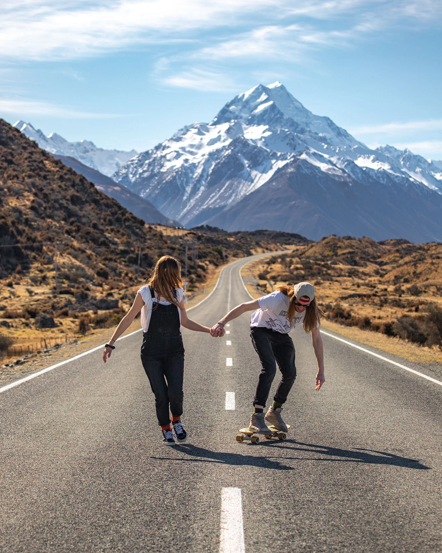
There is only one road into the national park (state highway 80) and OH MY GOODNESS, it's gotta be one of the most scenic drives you will take in this country. We've been here that many times and the view never ceases to blow us away completely. The turn off from the main highway onto the Mount Cook Road is very well signposted and impossible to miss!

Now you've reached the start of the road and you probably have about a 45 minute drive to get into the village, but please leave yourself a couple of hours to really enjoy the road in. You will want to stop and pull over multiple times. About 10 minutes into the road, on your right hand side there will be a scenic lookout point known as Peter's Lookout. It's the only signposted car park along the road. This spot is an incredible viewpoint to overlook Lake Pukaki and the Southern Alps. It's one of our favourite places to watch the sunrise and with a bend in the road leading perfectly towards the mountains, it's every photographers dream. Another pull off spot along the road we love is just after the Dead Horse Stream bridge. It's a small gravel stop on the side of the road and is perfect for those iconic tourist snaps. This is a 100kph road so when taking photos, make sure you are being extremely careful and have someone on car watch at all times!

WHERE CAN YOU HIKE IN THE
AORAKI/MOUNT COOK NATIONAL PARK?


Whether you're an expert after an overnight mountain mission or a beginner hiker looking to do something nice and easy, there is plenty of walks to cater to everyone's needs. It's a one stop shop to keep everyone in your group happy! Maybe you don't feel like walking at all? Relax with a book at the White Horse Hill Campground, with an epic view of Mount Sefton. We've spent many hours in that carpark avalanche spotting. Keep an ear out for the rumble as they're pretty damn cool to see!
1. THE HOOKER VALLEY TRACK.
Duration: 2- 3 hours return.
Distance: 10km return.
Track Terrain: Very flat, well maintained and marked gravel path.
Starts from the Hooker Valley Car Park.
The Hooker Valley Track has got to be the most popular walk in the park, and with good reason! It's a super easy stroll whilst still rewarding you with mind blowing views. It is enjoyable at any time of day, although it can get quite busy during the middle of the day so we would recommend walking it in the morning or evening. The track weaves along the Hooker River amongst towering mountain ranges. It takes you over 3 suspension bridges, past a beautiful reflective tarn and ends at the Hooker Valley Lake where you get an impressive view of Aoraki/Mount Cook and the glacier. If you're lucky there will be icebergs floating close to shore that you can touch or the lake may even be frozen over completely. Great to visit all year round!

2. SEALY TARNS
Duration: 3-4 hours return.
Distance: 4.5km return.
Track Terrain: Well maintained track walking up over 2000 stairs.
Starts from the White Horse Hill Campground.
The Sealy Tarns is a slightly more strenuous stroll in the park. It starts with a nice 10 minute walk on the flat, before taking you up 2000 stairs to reach the tarn. It can be quite sore on the knees coming down so would require a good level of fitness and capability. As you walk up those stairs, the views just get better and better. You can look down to the campground and all the way out to Lake Pukaki while Mount Cook & Mount Sefton a staring you right in the face. There's a nice wee picnic table up where you reach the tarn which is perfect for your morning cuppa or lunch time break. Just be careful putting your stuff down as you may end up fighting the Keas for your belongings! Cheeky buggers stole the rubber seals off our tripod when I wasn't looking LOL! If you were wanting to add onto this walk to make it a full day or overnight hike, you could continue up to the Mueller Hut. We have yet to do this one, but it is on our list for Jan 2021!!


3. KEA POINT
Duration: 45 minutes return.
Distance: 2.8km return.
Track Terrain: Flat and well maintained.
Start from the White Horse Hill Campground.
If you're after a super easy and short walk, then the Kea Point is definitely for you! Heading in the same direction as the Sealy Tarns for 10 minutes, instead of turning left and going up the stairs you will take a right to a small look out point. You will be rewarded with great views of the mountains and the Mueller Lake.

4. TASMAN GLACIER
Duration: 1 hour
Distance: 1km
Track Terrain: Well maintained and marked.
Start from the Tasman Glacier Road Car Park.
The Tasman Valley Road is parallel to the Hooker Valley Road and is the second turn off on your right when you start to get closer to the village. Once you've seen the sign for the airport turn off, the Tasman Road is only a little bit further up. You have the option here to take two different paths. One will lead you up some stairs to overlook the lake and the glacier, with a small pit stop at the Blue Lakes (a great spot for a picnic). The other will lead you down to the waters edge where you get a better view of the icebergs and to the jettys where they run boat tours. Neither are overly difficult or take to much time so if you give yourself a couple of hours here, you could definitely do both (our recommendation). A little tip, bring insect repellent!!

5. WAKEFIELD FALLS
Duration: 1 hour and a half return.
Distance: 1km return.
Track Terrain: No track has been maintained. No signposts. Rock hopping over slippery rocks. Not great for anyone with leg injuries.
Start on the side of the Tasman Valley Road. Co-ordinates are Latitude -43.7051 Longitude 170.1582.
Keep your eyes peeled for a pull off on the left side of the road. You will be able to see the big 3 tiered waterfall in the distance.
This track to the Wakefield Falls is definitely for the more adventurous! It's not hard at all, but the rocks are slippery so you will need to take care which is why it takes a fair bit of time. You'll be walking in a riverbed for about 30 minutes before you start to see the bottom of the waterfall. It's deceiving how far and how big it is! It's incredible standing at the bottom of a powerful waterfall like this one though, so well worth the little detour. You can also look back out into the valley and see the Tasman Lake from a different viewpoint!

WHERE DO YOU STAY IN THE
AORAKI/MOUNT COOK NATIONAL PARK?
As mentioned earlier there is a village with the option of staying in a hotel or motel, there is even Air BnB and hostels. If you are wanting to camp as close to the walks as possible, your best option is the White Horse Hill Campground. For only $15 per person (bring cash) it's a great spot to park up for a night or two. When driving from the Hooker Valley Car Park into the back where the White Horse Hill camp is you'll pass a little registration booth where you will need to fill in a form and pay your fees. Alternatively, there are plenty of Freedom Camping places for self contained vehicles close to the Mount Cook Rd. You're guaranteed a great spot anywhere along Hayman Road, your first right when you turn that corner (coming from Tekapo) and see the beautiful blue Lake Pukaki. All along that road, as long as you are self contained, has plenty of awesome sneaky isolated spots for a wee van as well as big open areas for your big caravan gatherings! We tend to come to these private spots after our big walks as it can be nice to recuperate without anyone else around.

There are also some great camping areas at the end of Lake Pukaki, closer to the visitor centre that I have flagged in this screen grab. Lake Poaka, just out of Twizel is also another beautiful place to park up for a night. Honestly, the Mackenzie country is very generous with the amount of freedom camping spots around, so you'll have no trouble finding somewhere awesome to stay. A little side note, go outside after dark and turn your eyes up to the sky. You'll thank us I guarantee!!


OUR IDEAL 3 DAY ITINERARY!
Now, if we had it our way we'd be recommending a minimum of a week in this area to really experience all the beauty at a leisurely pace. We do understand however, that Aoraki/Mount Cook National Park is usually just one stop on a much larger trip of the South Island or may be a quick weekend adventure for the kiwi locals. With that in mind we thought we would create our perfect itinerary if all we had was a weekend to spend here. A little side note that I'd like to add, is that the weather can change at any time, any season, so please check the weather and be prepared for anything. We've hiked in t-shirts in the middle of July but had full top and bottom thermals on in the middle of December. Be Prepared!!!
Friday 5pm - Work is finished for the week, the car is packed and off you go!!
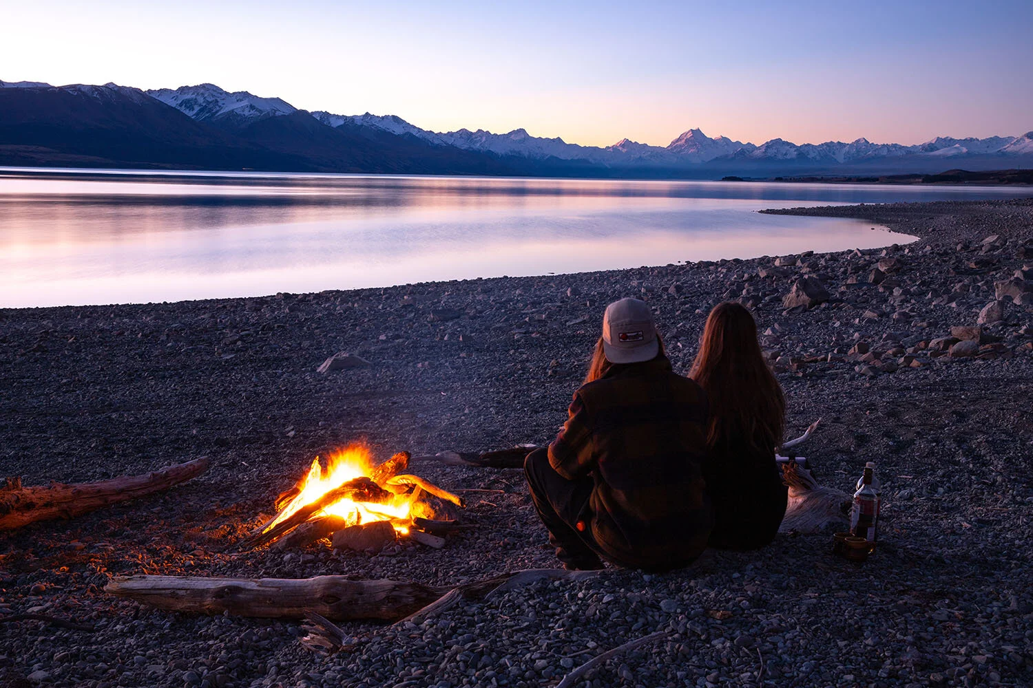
Depending where you are coming (Chch or Qtown) from it will take you approx 3 hours to get to the end of Lake Pukaki, where we would recommend parking up at one of the freedom camping spots for the night for a bit of star gazing and maybe astro photography for those keen night photographers.
Saturday Sunrise - Depending on daylight savings you're going to want to set your alarm for between 5-6am. Our favourite spot to view the sunrise in the area is from Peters Lookout. There is also a toilet at the lookout, quite handy for those morning movements. . . It's also a great spot to have your morning cuppa whilst enjoying the sun slowly hitting the side of Mount Cook.
9am - Heading on from Peters Lookout, take your time to enjoy the road. Stop off at all the little pull offs and really soak it all in. The most beautiful road in the country must be experienced at the slowest of paces. When you reach the Tasman Valley Road, head in there towards the Wakefield Falls. Give yourself a couple of hours to explore and even take some lunch to eat up at the bottom of the falls. Your legs may be a little tired afterwards so depending on how you're feeling will determine which route you take when you get to the Tasman Glacier. We always prefer going down to the lake front as we love being close up to the icebergs.
2pm - Time to relax in the White Horse Hill Campground or maybe your accommodation in the village for a couple hours, preparing for your evening walk!
4-6pm - The Hooker Valley Track. You'll want to leave closer to 4pm in winter time and around 6pm in the summer. This will mean you get to see the beautiful sunset when you're walking out. Watching the sunset at the lake is awesome, but we've found it's more rewarding when you are walking out as you get to see all the way down the valley towards Lake Pukaki, as well as the opposite direction where Mount Cook stands.
7-9pm - Late dinner, some bevvys and some more star gazing.
Sunday 5am - Sealy Tarns time! Get up bright and early with your head torches and head up those 2000 stairs to reach the tarn for the sunrise. There is something extremely magical about walking within the mountains in the dark. You can't see them, but damn you can feel them. It's such a soul fulfilling experience, just writing about it makes me wish I was amongst them right now. Take your time to just hang out and enjoy the beautiful views before heading back down. If you're up for it you could finish this walk off with a quick stroll to Kea Point, but honestly after you've seen the views from up the top I wouldn't consider it overly necessary.
11am - Hometime!

I hope you guys found this informative and that it helps with planning your trip to the best place on the planet. Have the best time ever and as always..
Toitu Te Whenua // Leave The Land Undisturbed
Like what you see? Pin it for later!
